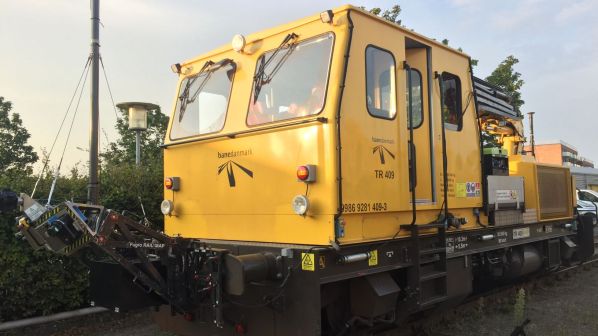
Rila will be used to simultaneously acquire lidar data and imagery of the track and surrounding environment to create a highly accurate, information-rich model of Denmark’s railway infrastructure. This “digital twin” will enable Banedanmark to detect any objects in conflict with the railway infrastructure’s clearance profile and enable the infrastructure manager to perform clearance gauge mapping.
Data collection will begin in autumn 2019 followed by a full network capture from 2020 onwards. The resulting datasets will be imported into Banedanmark’s existing software and made available via Fugro’s web-based Rila Portal. Fugro says the portal provides a single point of truth dataset from which users can view and download, inspect and analyse assets, and share and extract value from asset data more efficiently. The data will benefit activities including track maintenance, asset management, landscaping and detailed design by construction and signalling divisions.
Previous Banedanmark network infrastructure surveys used traditional terrestrial methods to acquire lidar data via a mobile platform. This new approach will dramatically reduce the need for on-track surveyors and speed up the data capture process.
Fugro is already carrying out similar work for Network Rail.
“With 190 million passengers and 3000 trains passing through Denmark, safety is a major driver. The data that Fugro delivers will enable our teams to supervise the structure gauge and improve infrastructure maintenance predictions,” says Ms Charlotte Lomholt, project manager at Banedanmark.